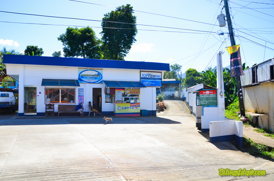
Culaba, Biliran
Culaba is one of the eight (8) municipalities of Biliran. It was established on January 16, 1954 through Executive Order Number 630 signed by President Elpedio Qurino on October 16, 1953.
The old site of the town located at the northern bank of Amambahag River where the structure of the church can still be traced. Because of constant floods and destructive typhoons that devastated the town, the people were forced to transfer to safer place where the set of local governance has established.
The Municipality of Culaba is an agricultural area with coconut as the dominant crop followed by the rice, root crops and other crops. The people are engaged in trade, commerce, fishing and agriculture.
The Municipality is located in the northeastern part of Biliran in Region 8. It is located approximately at coordinates at 11.39 degrees north latitude and 124.32 degrees East longitude, with a total area of 7,345.27 hectares and a total population of 14,326. It is classified as the fifth class municipality. It is bounded in the Northwest by the Municipality of Kawayan, South by the Municipality of Caibiran, East by Samar Sea, and West by the Municipalities of Naval and Almeria.