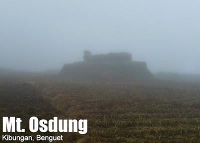
Kibungan, Benguet
Kibungan is at the northwestern section of Benguet. It is bounded by Bakun on the north, Buguias on the mid-east, Kabayan on the southeast, Atok and Kapangan on the south, and Sugpon on the mid-west.
According to the Philippine Statistics Authority, the municipality has a land area of 254.86 square kilometres (98.40 sq mi) constituting 9.20% of the 2,769.08-square-kilometre- (1,069.15 sq mi) total area of Benguet.
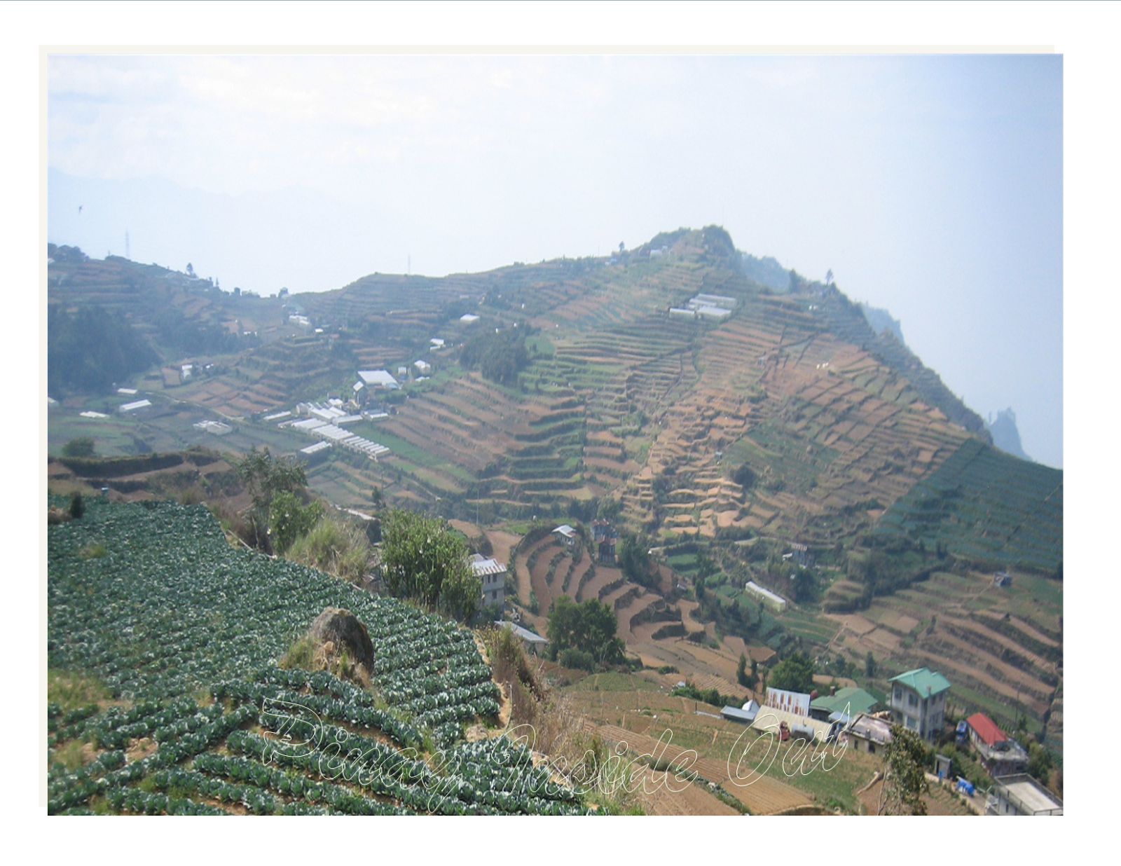
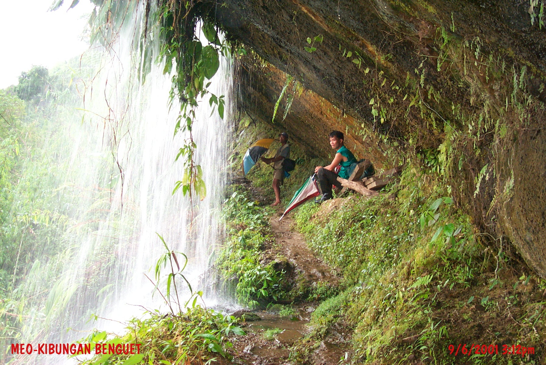
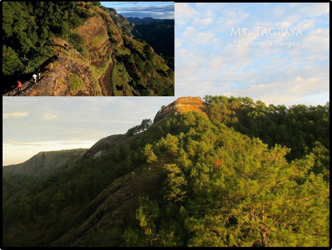
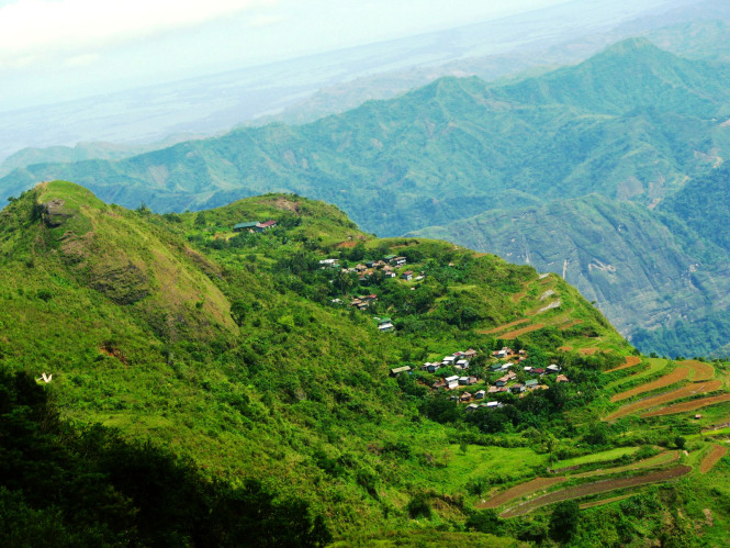
Kibungan has seven barangays namely; Sagpat, Poblacion, Palina, Tacadang, Madaymen, Badeo, and Lubo. Barangay Sagpat and Lubo produces sayote as their main crop, sayote was tagged the "hanging gold". Barangay Madaymen and Palina also produces varieties of vegetables like cabbage, potatoes, carrots, and more. Barangay Tacadang and Badeo is not accessible by vehicle because of the rocky mountains and its hard to construct road.
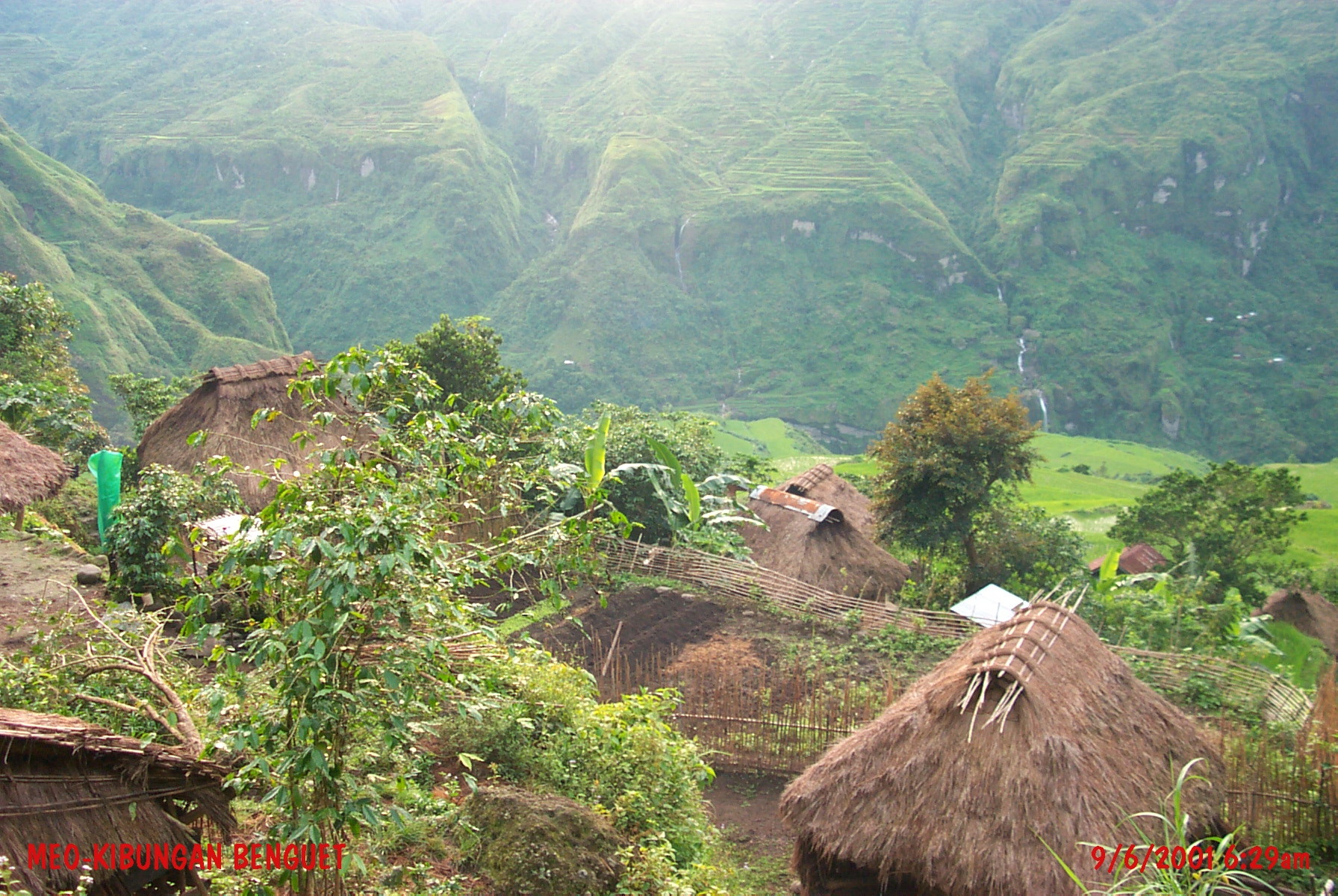
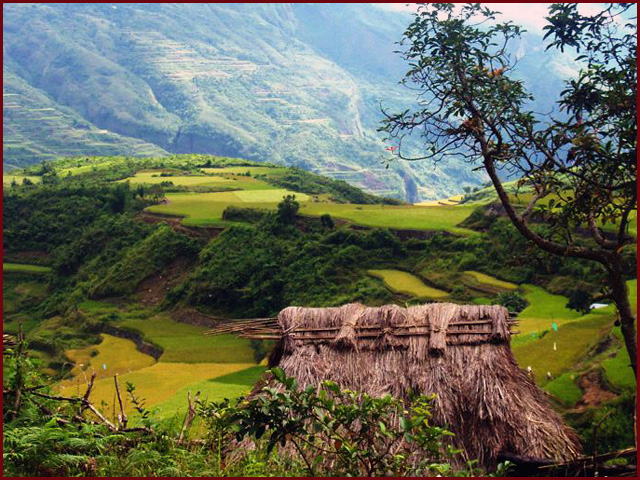
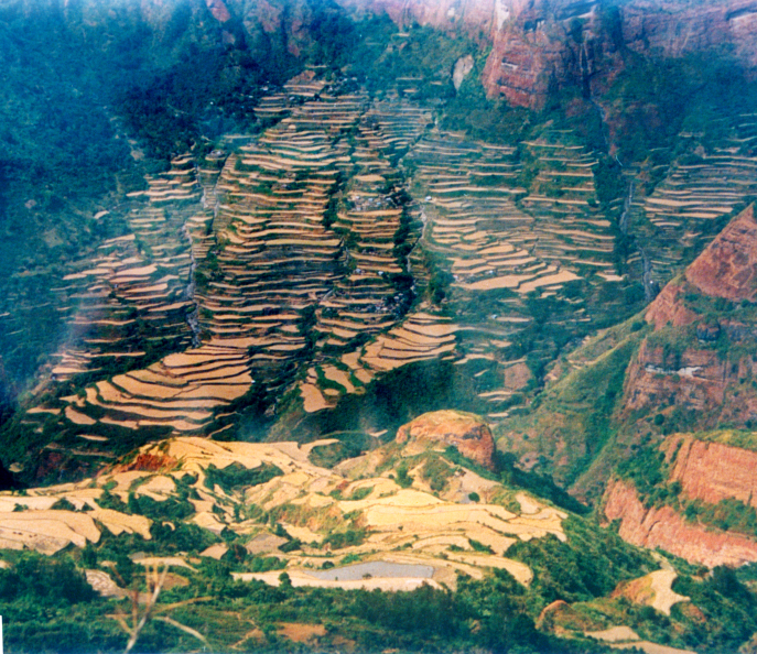
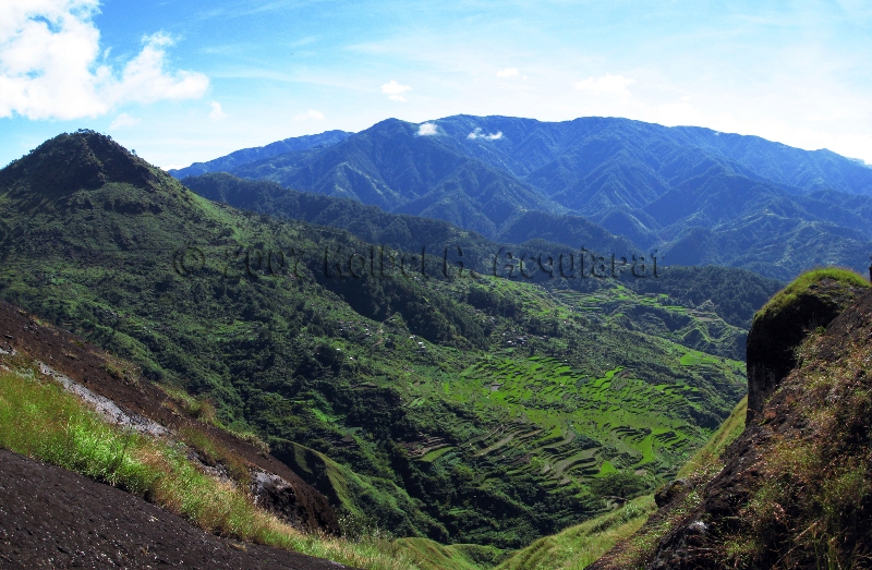
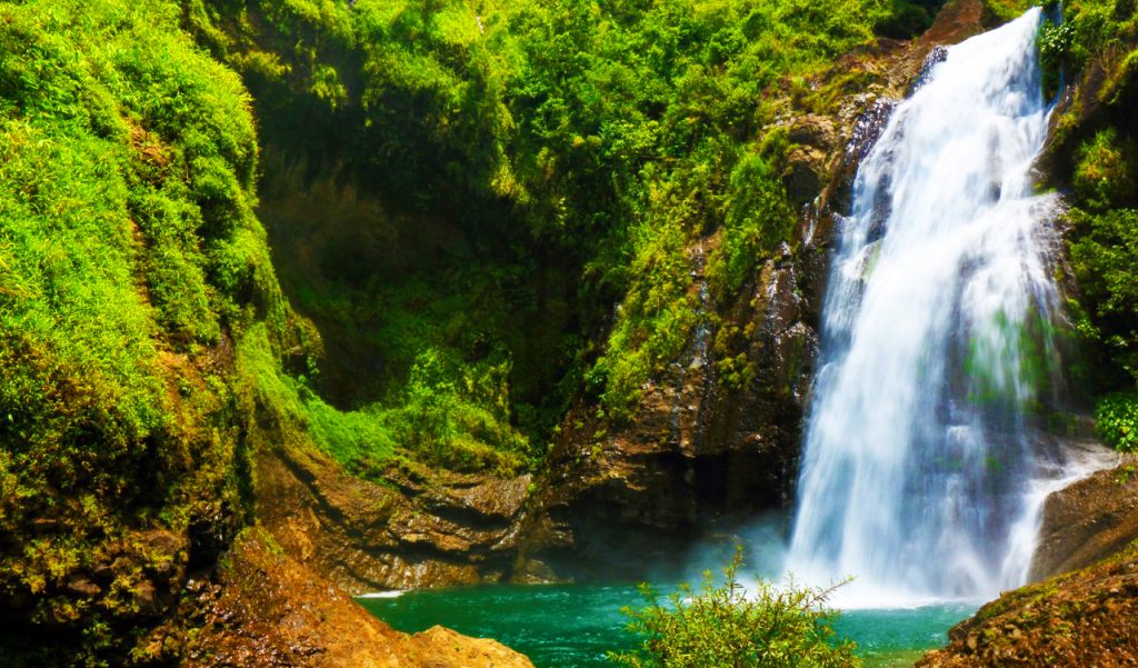
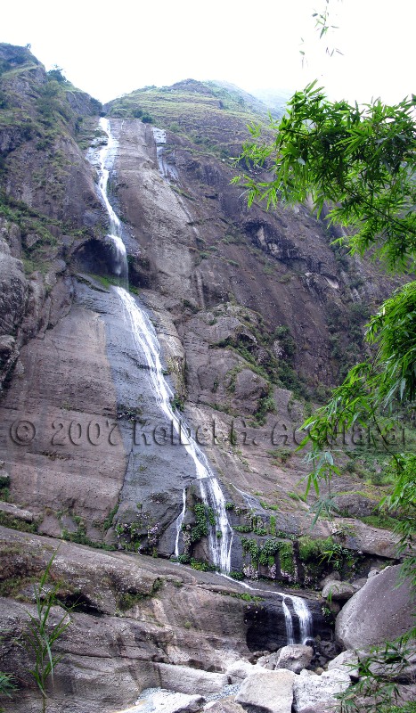
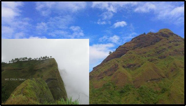
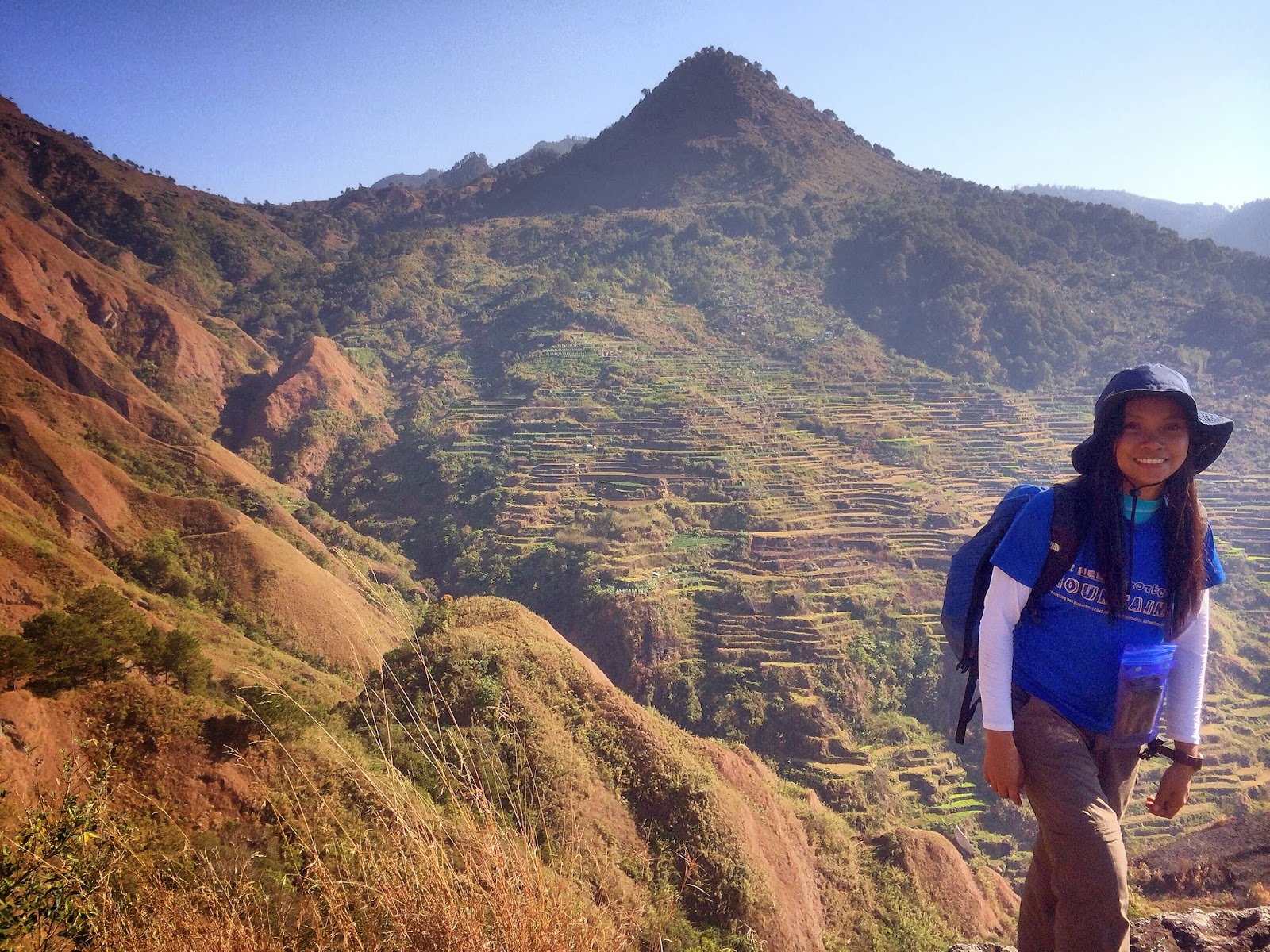
Kibungan is known in the province of Benguet as the town with unique mountains often mistaken to resemble those of Switzerland. Deep ravines and cliffs separate and isolate many sitios and some barangays. Although some plateaus, hills and small valleys can be seen in the locality, Kibungan is dominantly mountainous.
The municipality is within a cool highland mountainous zone with elevations at more than 2,500 metres (8,200 ft) above sea level. During its coolest months of December to January, Barangay Madaymen experiences chilling temperature of 0 °C (32 °F), causing the famous Frost of Madaymen.
The municipality is located 62 kilometres (39 mi) north of Baguio.
According to the Philippine Statistics Authority, the municipality has a land area of 254.86 square kilometres (98.40 sq mi) constituting 9.20% of the 2,769.08-square-kilometre- (1,069.15 sq mi) total area of Benguet.
Kibungan has seven barangays namely; Sagpat, Poblacion, Palina, Tacadang, Madaymen, Badeo, and Lubo. Barangay Sagpat and Lubo produces sayote as their main crop, sayote was tagged the "hanging gold". Barangay Madaymen and Palina also produces varieties of vegetables like cabbage, potatoes, carrots, and more. Barangay Tacadang and Badeo is not accessible by vehicle because of the rocky mountains and its hard to construct road.
Kibungan is known in the province of Benguet as the town with unique mountains often mistaken to resemble those of Switzerland. Deep ravines and cliffs separate and isolate many sitios and some barangays. Although some plateaus, hills and small valleys can be seen in the locality, Kibungan is dominantly mountainous.
The municipality is within a cool highland mountainous zone with elevations at more than 2,500 metres (8,200 ft) above sea level. During its coolest months of December to January, Barangay Madaymen experiences chilling temperature of 0 °C (32 °F), causing the famous Frost of Madaymen.
The municipality is located 62 kilometres (39 mi) north of Baguio.