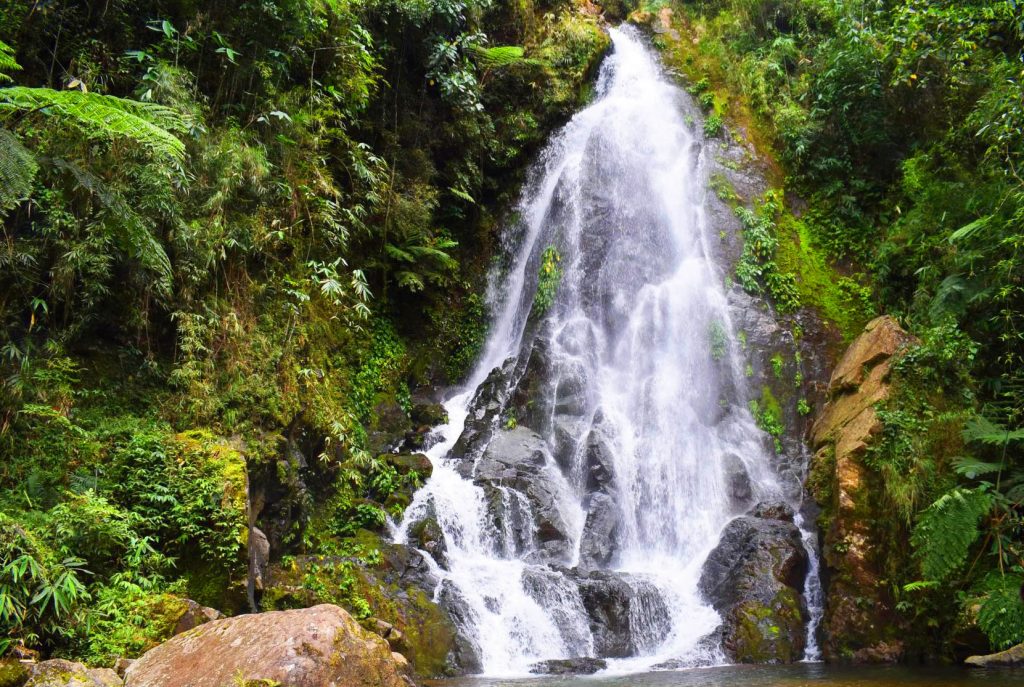
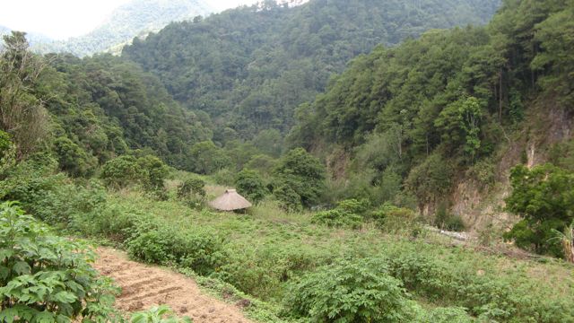
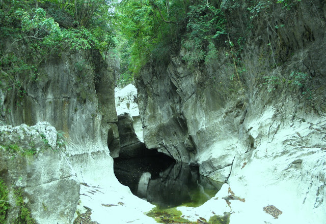
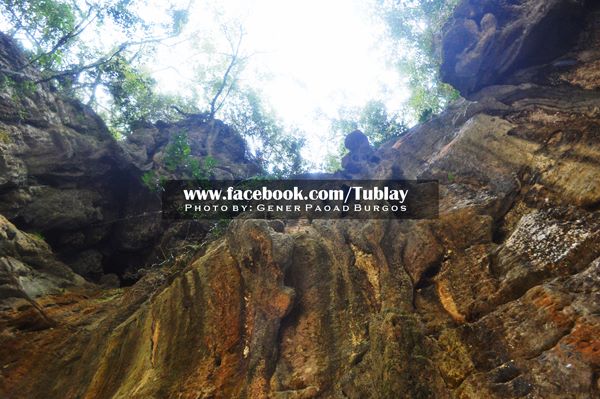
Tublay, Benguet
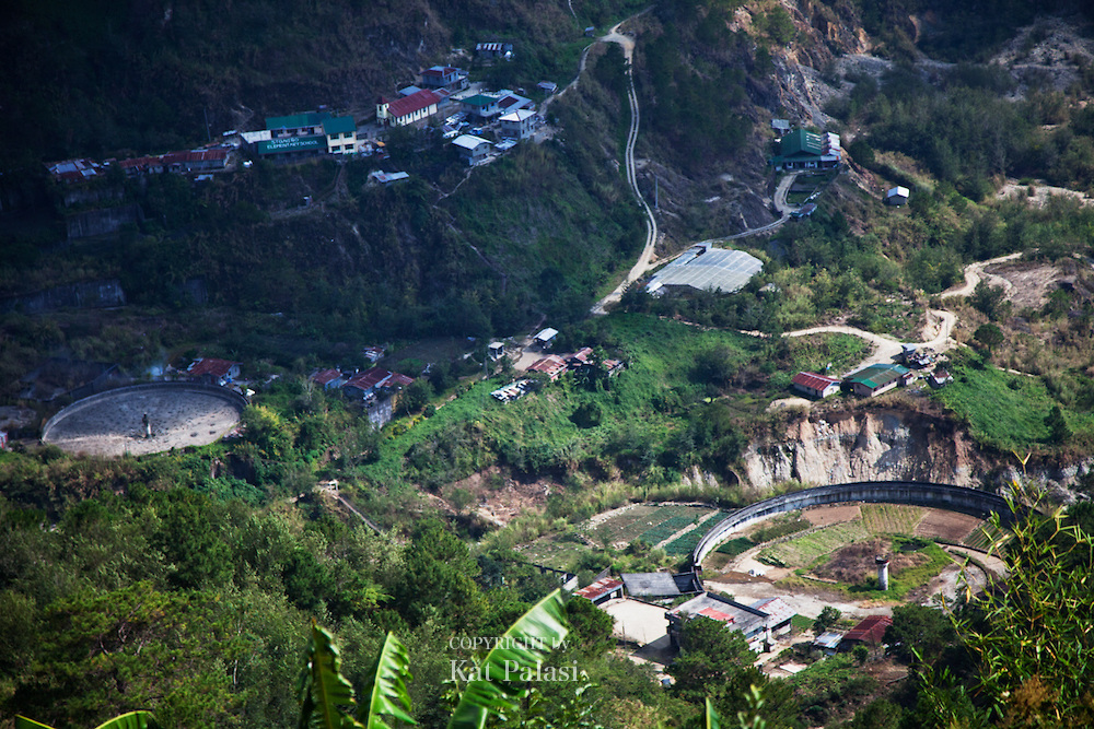
Tublay began as a township organized by the American government in November 1900. It is at the central portion of Benguet. It is bounded by Kapangan on the north, Atok on the east, Itogon and Bokod on the southeast, La Trinidad on the west, and Sablan on the northwest.
According to the Philippine Statistics Authority, the municipality has a land area of 102.55 square kilometres (39.59 sq mi) constituting 3.70% of the 2,769.08-square-kilometre- (1,069.15 sq mi) total area of Benguet.
The topography is generally mountainous with an elevation of 1,400 metres (4,600 ft) above sea level. It has two pronounced seasons - the dry and the wet seasons with a temperature coldest at 6.5 °C (43.7 °F) and warmest at 27.5 °C (81.5 °F). There are 2 seasons for Tublay, Benguet will be wet season from May to October and dry season from November to April.
The municipality is located 263 kilometres (163 mi) north of Manila and 13 kilometres (8.1 mi) north of Baguio.