Almeria, Biliran
Almeria is one of the eight (8) municipalities comprising Biliran Province. It is situated in the northwestern part of Biliran Island. Its geographic location has coordinates of 12425’E latitude and 11°40’N longitude. It is located eight (8) kilometers north of Naval, the capital town of the province. The town is situated at the mouth of Biliran Strait and faces the Visayan Sea. It is bound on the east by the town of Culaba and on the north by the town of Kawayan.
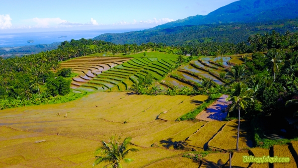
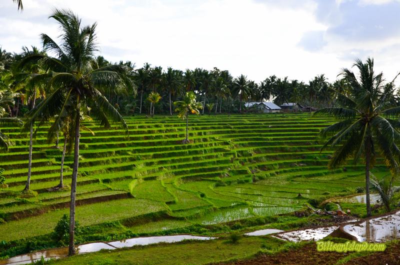
The Poblacion is located near the seashore. The eastern part is bounded by rice fields up to the Bagumbong River, the north and south area bounded by rolling hills and mountains. It is traversed by a national road and its distance from Tacloban City, the regional center, is 128 kilometers. Almeria occupies a total land area of 6,550 hectares which is about 12% of the province’s land area. Among the municipalities of Biliran, Almeria ranks 5 in terms of land area. Cadastral records at the Municipal Assessor’s Office placed a total of 3,236.39 hectares as A&D, the remaining 3,313.61 hectares is timberland.
The Poblacion is located near the seashore. The eastern part is bounded by rice fields up to the Bagumbong River, the north and south area bounded by rolling hills and mountains. It is traversed by a national road and its distance from Tacloban City, the regional center, is 128 kilometers. Almeria occupies a total land area of 6,550 hectares which is about 12% of the province’s land area. Among the municipalities of Biliran, Almeria ranks 5 in terms of land area. Cadastral records at the Municipal Assessor’s Office placed a total of 3,236.39 hectares as A&D, the remaining 3,313.61 hectares is timberland.
