La trinidad, Benguet
La Trinidad is located at 16°28′N 120°35′E, at the central portion of Benguet. It is bounded by Tublay on the north-east, Sablan on the west, Baguio City on the south, Itogon on the southeast, and Tuba on the south-west.
According to the Philippine Statistics Authority, the municipality has a land area of 70.04 square kilometres (27.04 sq mi) constituting 2.53% of the 2,769.08-square-kilometre- (1,069.15 sq mi) total area of Benguet.
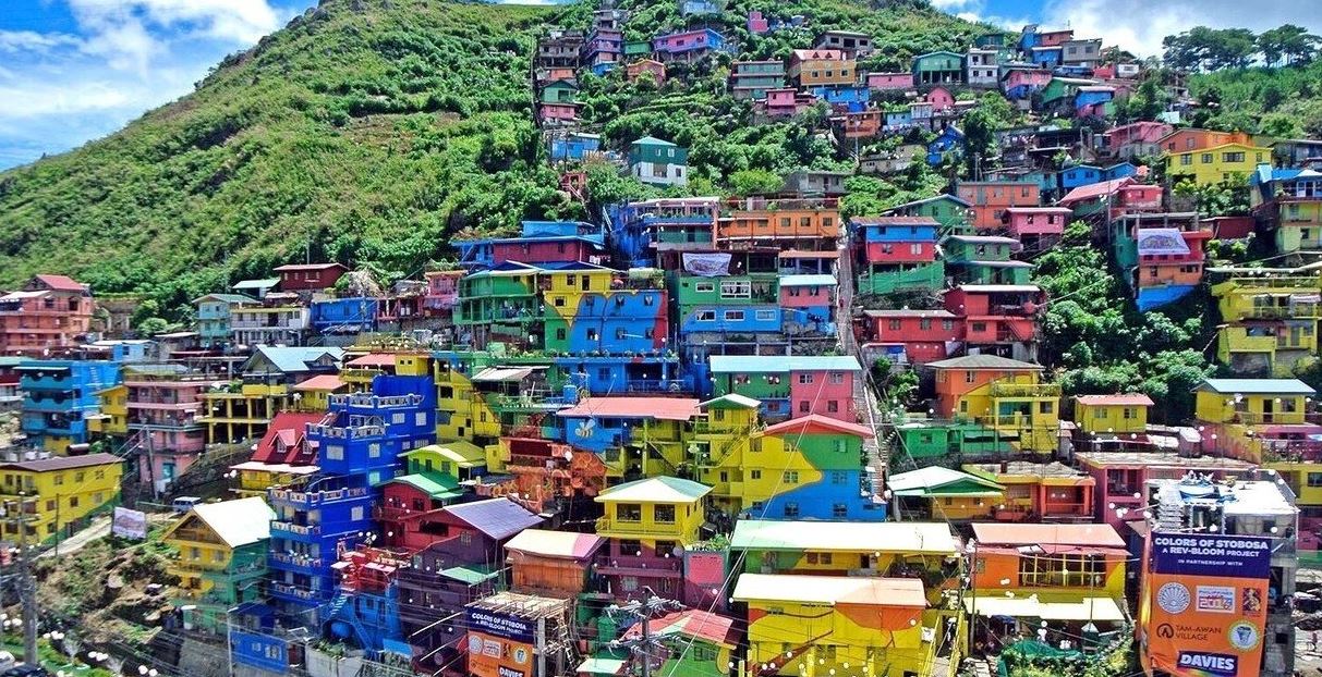
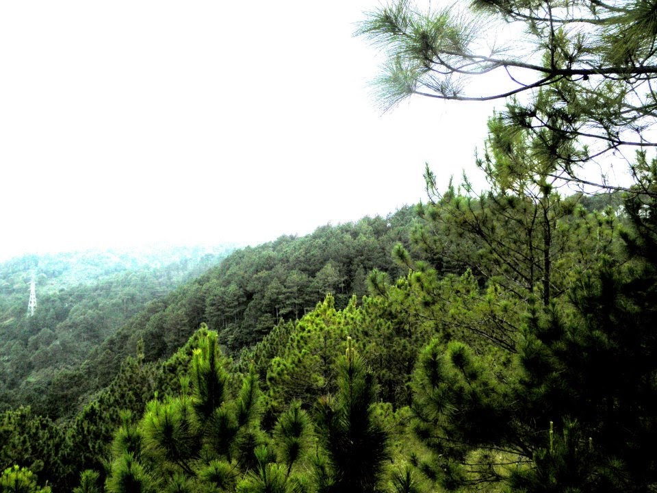
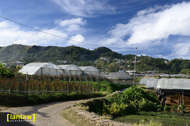
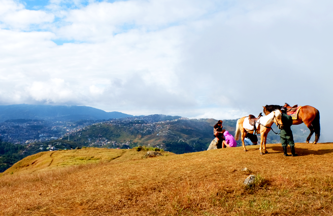
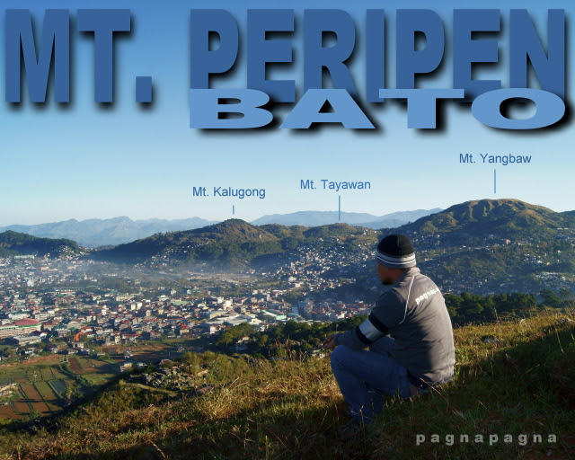
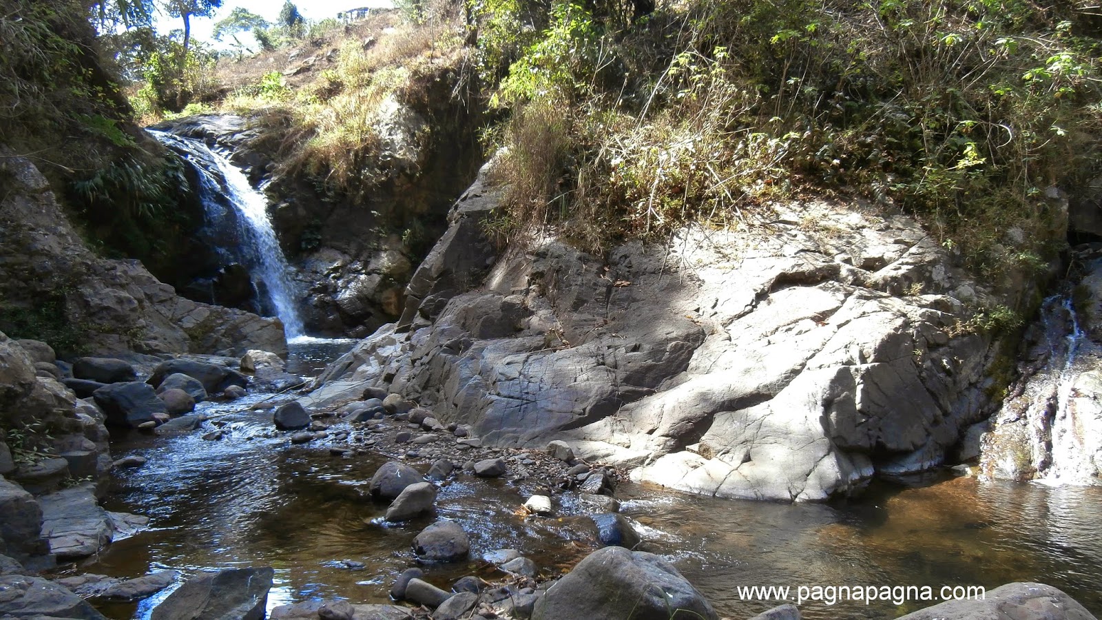
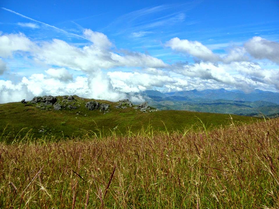
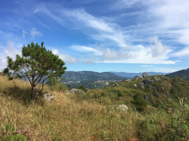
The terrain is generally mountainous with springs, rivers and creeks. The town has a valley which encompasses several barangays. The valley floor elevation is at 1,300 metres (4,300 ft) above sea level. Elevation ranges from 500 to 1,700 metres (1,600 to 5,600 ft) above sea level.
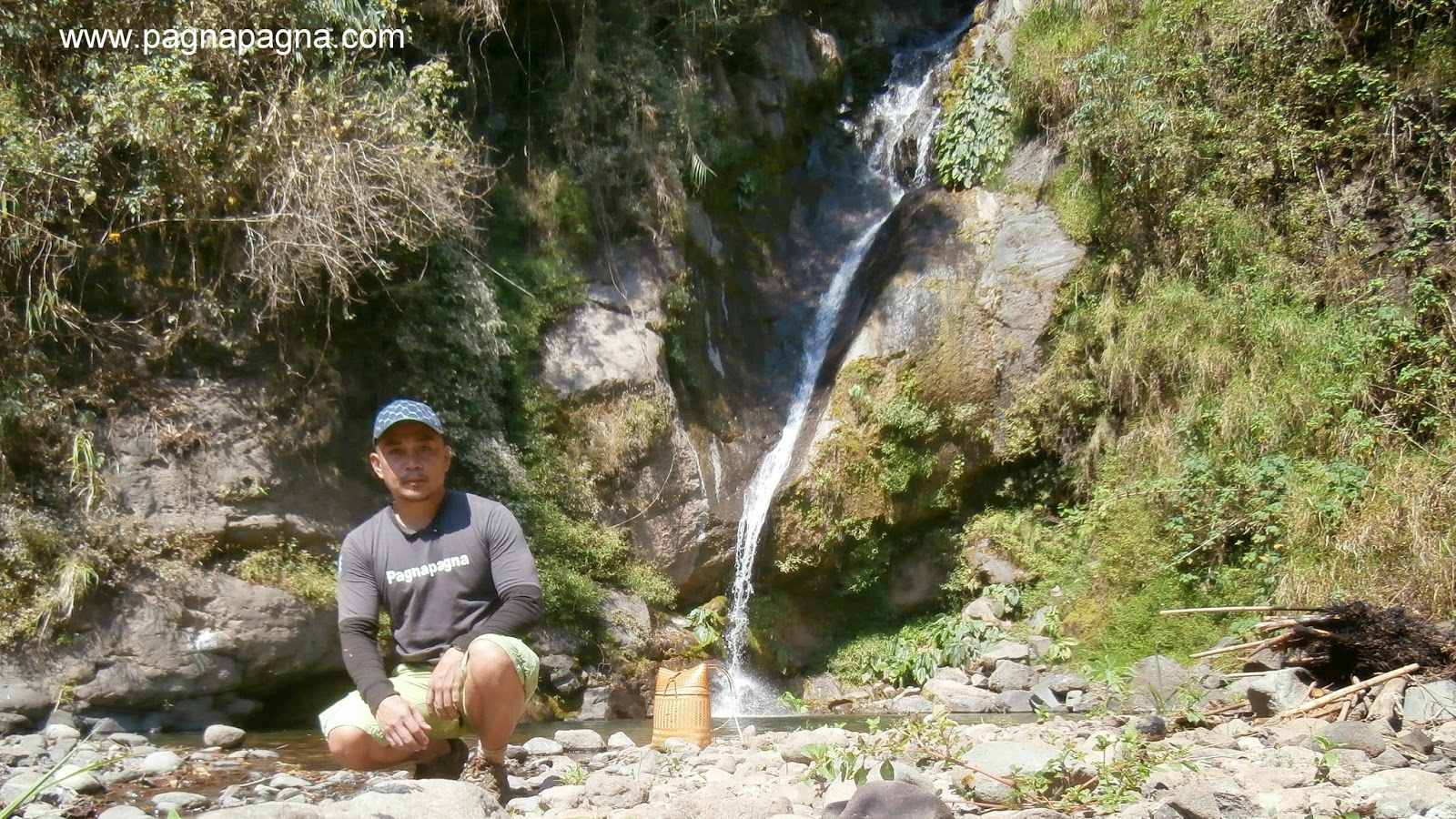
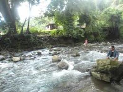
Balili River is the municipality's main water drainage which carries upstream water from Sagudin River in Baguio City.[23] The river merges with another upstream river in Tuel upon reaching the La Trinidad-Tublay-Sablan tri-point.
